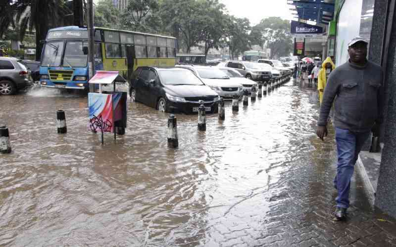
The Kenya Metrological Department has issued a new forecast for heavy rainfall which was initially projected to start from the first week of March.
According to the weatherman, the current dry weather conditions are attributed to a Tropical Cyclone in the Mozambican Channel.
This phenomenon has delayed the northward movement of the rain-bearing Inter-Tropical Convergence Zone (ITCZ).
"As a result, moisture influx into Kenya has significantly reduced, leading to continued sunny and dry weather conditions over much of the country," Kenya MET explained.

Read More
"This dry spell, initially forecasted, may persist into the beginning of the fourth week of March and may extend to the western half of the country," the statement added.
However, the weatherman announced that heavy rainfall will start in the fourth week of March and continue picking up towards April.
"However, rainfall is forecasted for the southern sector mainly during the fourth week of March, increasing gradually towards the end of the month. Meanwhile, the northern half of the country is likely to experience rainfall towards the end of March and the beginning of April," the weatherman elaborated.
"Development of TCs in the South Western Indian Ocean is still likely within the season and this may affect the performance of the seasonal rainfall. Since TCs are not predictable at longer timescales, KMD will continue monitoring the situation & issue updates when necessary."
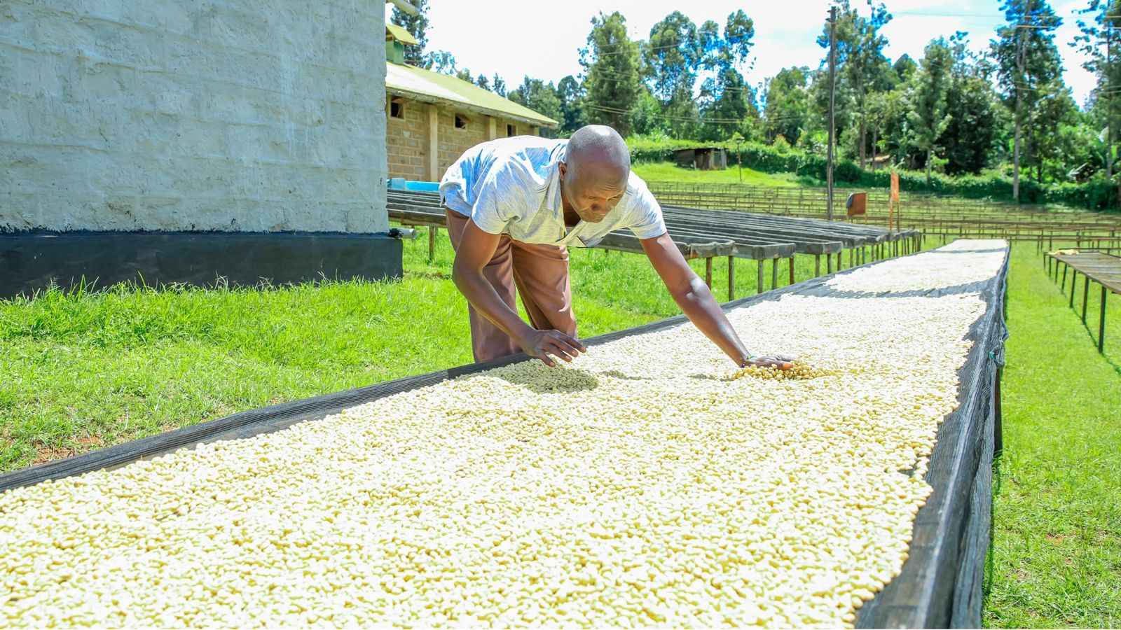
The delay has affected many farmers who had prepared their farms in readiness for the planting season. This phenomenon is thus expected to delay the season for a few days.
Initially, heavy rains were projected to start as early as late February. Kenya MET indicated that all parts of the country would receive a share of the rains.
However, the delay left many Kenyans worried noting that the weather pattern had become unpredictable.


