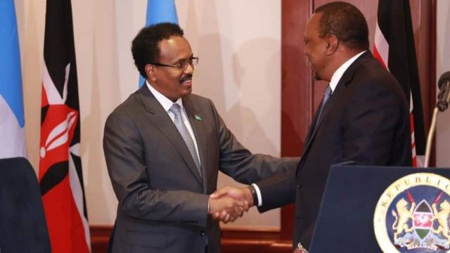
On Tuesday, October 12, the International Court of Justice made its final ruling the Kenya-Somalia Maritime Boarder Dispute that has been going on for some time.
In the ruling, the ICJ gave Somalia control of most of the disputed space that is potentially oil and gas-rich portion of the Indian Ocean.
The court ruled that there was no pre-existing agreement on the maritime boundary as Kenya claimed in its argument.
It also rejected Somalia’s claim that Kenya had violated international laws.
The court went on to draw a new boarder between in the disputed waters, in a move that seemingly favoured Somalia’s claim of the waters.
Read More
Here’s a summary of how the judgment was made;
The judges made unanimous decisions on the following;
- Finds that there is no agreed maritime boundary between the Federal Republic of Somalia and the Republic of Kenya that follows the parallel of latitude described in paragraph 35 [of the Judgment]
- Decides that the starting-point of the single maritime boundary delimiting the respective maritime areas between the Federal Republic of Somalia and the Republic of Kenya is the intersection of the straight line extending from the final permanent boundary beacon (PB 29) at right angles to the general direction of the coast with the low-water line, at the point with co-ordinates 1° 39' 44.0" S and 41° 33' 34.4" E (WGS 84).
- Decides that, from the starting-point, the maritime boundary in the territorial sea follows the median line described at paragraph 117 [of the Judgment] until it reaches the 12-nautical-mile limit at the point with co-ordinates 1° 47' 39.1" S and 41° 43' 46.8" E (WGS 84).
- Rejects the claim made by the Federal Republic of Somalia in its final submission number 4 [concerning the allegation that the Republic of Kenya, by its conduct in the disputed area, had violated its international obligations].
Decided by Votes;
- Decides that, from the end of the boundary in the territorial sea (Point A), the single maritime boundary delimiting the exclusive economic zone and the continental shelf up to 200 nautical miles between the Federal Republic of Somalia and the Republic of Kenya follows the geodetic line starting with azimuth 114° until it reaches the 200-nautical-mile limit measured from the baselines from which the breadth of the territorial sea of the Republic of Kenya is measured, at the point with co-ordinates 3° 4' 21.3" S and 44° 35' 30.7" E (WGS 84) (Point B) – (10 votes to 4).
- Decides that, from Point B, the maritime boundary delimiting the continental shelf continues along the same geodetic line until it reaches the outer limits of the continental shelf or the area where the rights of third States may be affected – (9 votes to 5).
The judges included; President Donoghue; Vice-President Gevorgian; Judges Tomka, Bennouna, Xue, Sebutinde, Robinson, Iwasawa, Nolte; Judge ad hoc Guillaume; Judges Abraham, Yusuf, Bhandari, Salam.


