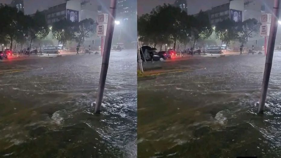
Heavy rainfall across parts of the country has triggered flooding and fast-moving water, affecting more than 750 households across six counties.
In an update on Wednesday, April 29, the Kenya Red Cross said the flooding affected Nairobi, Machakos, Kajiado, Mombasa, Kwale, and Lamu counties.
In Nairobi, the most affected area is Utawala, where three people were safely rescued after being stranded in floodwaters.
Across other neighbourhoods including Jacaranda, Sisal, Milimani, Motomoto, and Riara, approximately 650 households have been affected by the flooding.
In Machakos County, specifically Mavoko, a family of four was evacuated after their home was submerged by rising waters.
Read More
In Kajiado North, about 100 households have been affected, with residents facing disruptions due to waterlogged homes and impassable roads.
In Mombasa County, Likoni recorded at least one household affected, as coastal rainfall continues to impact low-lying areas.
Flooding has also been reported in parts of Kwale and Lamu counties, though full assessments are still ongoing.

According to the Kenya Red Cross, river systems are also under pressure, with water levels along the Tana River rising steadily.
At the same time, Masinga Dam has reached full capacity, prompting controlled spillovers as a safety measure.
Authorities have warned that downstream communities should remain on high alert due to possible sudden increases in water levels.
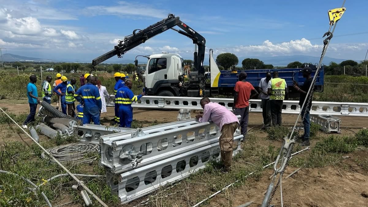
The Kenya Red Cross has deployed teams on the ground to conduct rapid assessments and assist in rescue operations.
"Kenya Red Cross teams are on the ground conducting assessments and supporting affected families," the organization said.
Elsewhere, the Kenya Meteorological Department has warned of a high risk of flooding in the Tana River Basin in the coming days.
In an advisory on Wednesday, the Met Department said moderate to heavy rainfall is expected across the basin over the next seven days.
"Moderate to heavy rainfall is expected across the basin over the next 7 days, following continued rains observed in the past week," the department stated.
According to the weatherman, there is an expected risk of flooding across parts of the Tana River Basin, including Garissa, Hola, and Garsen.
The Met Department noted that data from the Garissa Gauge Station shows that water levels in the basin are projected to rise significantly, reaching up to 6.4m by May 2, 2026, exceeding the flood warning threshold of 5.0m.
"Levels are expected to remain elevated before gradually declining towards early next week," the weatherman stated.
Further, the weatherman warned that transport and livelihoods would be affected by the floods in the basin.
The department urged communities living near riverbanks to move to higher ground to avoid being affected by the floods.
It also advised members of the public against crossing flooded rivers and roads, urging them to follow guidance from local authorities and emergency services.