The Ministry of Interior has urged residents living along the Lower Tana River to stay alert as river levels continue to rise, increasing flood risk.
In a statement on Wednesday, April 29, the ministry noted that heavy rainfall from the upper Tana region has resulted in a significant increase in water flowing into the Seven Forks dams.
The ministry warned that if rainfall continues or if Kiambere Dam reaches its limit, more water may flow downstream, causing flooding in the lower Tana region.
“To manage the situation, controlled water releases are already taking place at Kamburu, Gitaru, and Kindaruma dams.
“However, if rainfall continues or if Kiambere Dam reaches its limit, more water may flow downstream, raising the risk of flooding in affected areas,” read the statement in part.
Read More
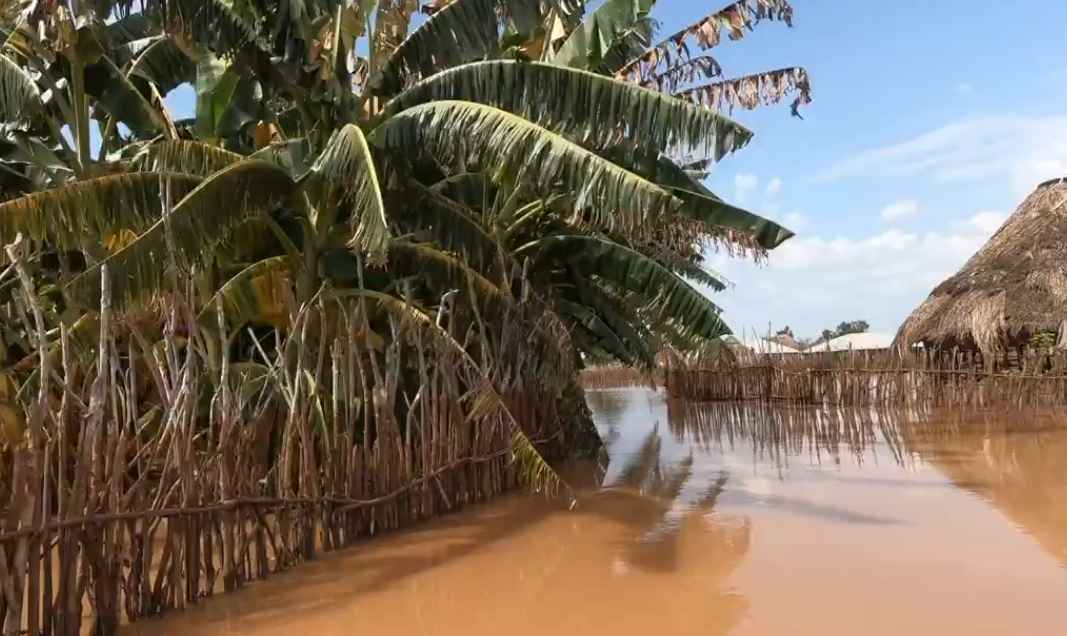
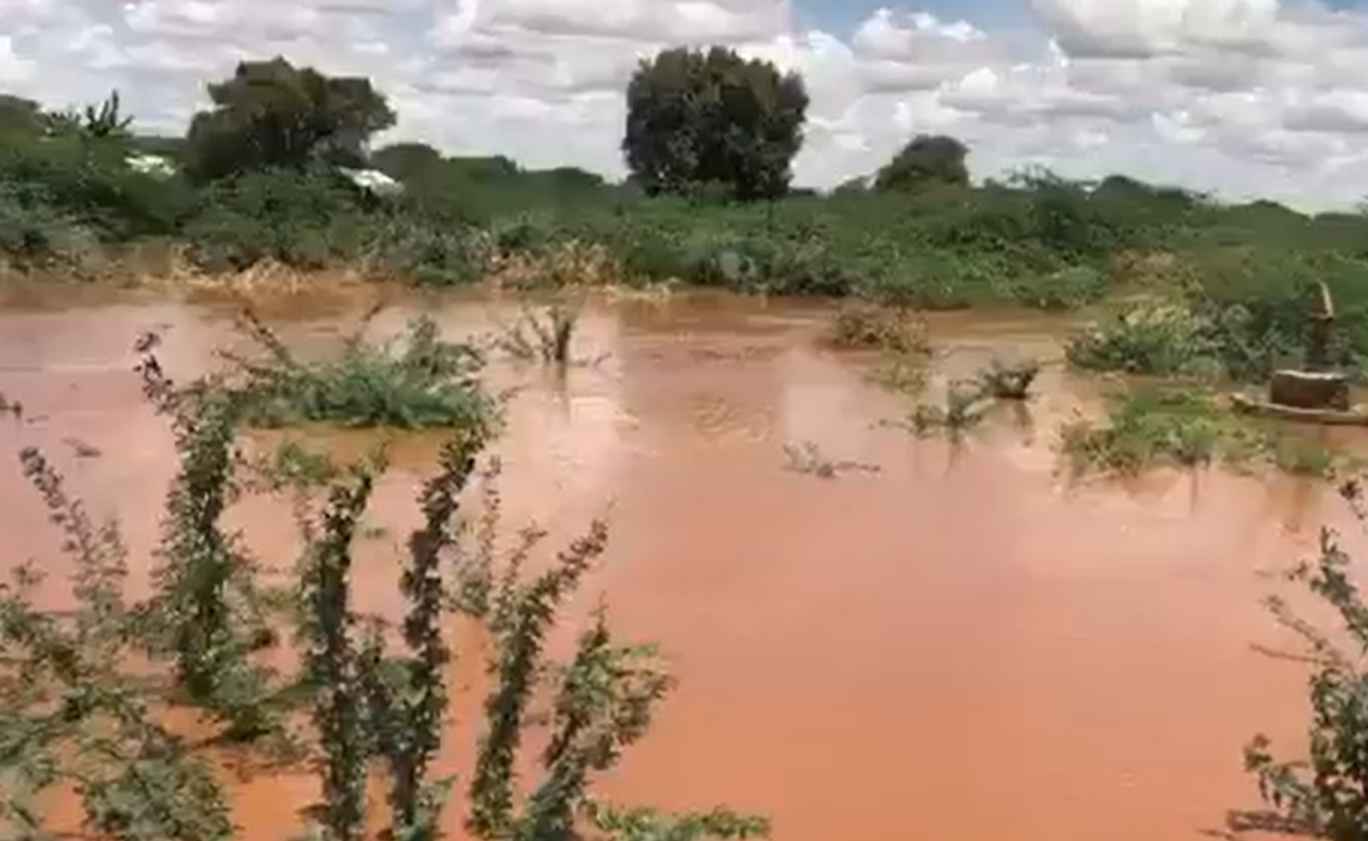
According to the ministry of Interior, water levels along the Tana River are expected to begin rising steadily from April 29 and by Friday May 1 the levels may increase further causing early flooding in some low-lying areas.
“The highest risk period is expected between May 2 and May 3, when water levels could peak and cause widespread flooding in areas such as Garissa, Hola, and Garsen. Floodwaters may spread across nearby floodplains and delta regions,” the ministry stated.
The ministry advised Tana River residents to move to higher ground where possible and to relocate their livestock and secure essential belongings.
The government cautioned the Tana River residents against crossing rivers or walking through flowing water.
“Follow guidance from local authorities and emergency teams. Taking early action can help save lives and reduce damage,” the advisory further read.
The advisory comes after the Kenya Meteorological Department also warned of a high risk of flooding in the Tana River Basin in the coming days.
In an advisory on Wednesday, April 29, the Met Department said moderate to heavy rainfall is expected across the basin over the next seven days.
“Moderate to heavy rainfall is expected across the basin over the next 7 days, following continued rains observed in the past week,” the department stated.
According to the weatherman, there is an expected risk of flooding across parts of the Tana River Basin, including Garissa, Hola, and Garsen.
The Met Department noted that data from the Garissa Gauge Station shows that water levels in the basin are projected to rise significantly, reaching up to 6.4m by May 2, 2026, exceeding the flood warning threshold of 5.0m.
“Levels are expected to remain elevated before gradually declining towards early next week,” the weatherman stated.
Further, the weatherman warned that transport and livelihoods would be affected by the floods in the basin.
The department urged communities living near riverbanks to move to higher ground to avoid being affected by the floods.
It also advised members of the public against crossing flooded rivers and roads, urging them to follow guidance from local authorities and emergency services.